Ötztal Bus Map.
A digital transit map designed for the Ötztal region to simplify complex alpine bus and lift networks. The tool provides hikers and commuters with real-time navigation and geographic clarity through a high-performance mobile interface.
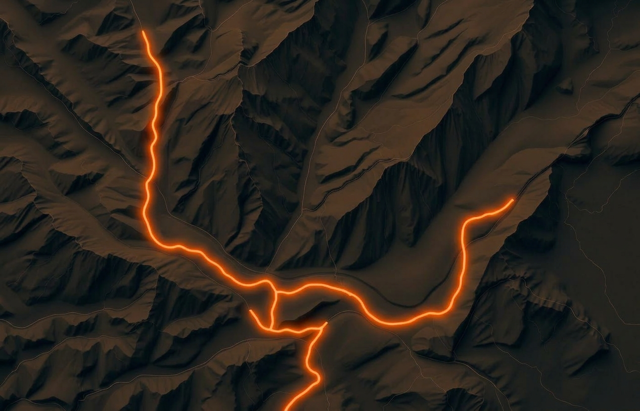
The Ötztal valley presents a complex transit landscape where traditional bus lines intersect with seasonal hiking shuttles and cable cars. Existing static maps failed to communicate real-time delays or the high-altitude connectivity essential for tourists. The primary challenge was to condense this multi-modal information into a mobile-first interface that remains legible under varying outdoor lighting conditions.
We visualized the transit network by overlaying simplified vector paths onto a high-contrast topographic base map. The interface was structured around a 'point-to-point' logic, allowing users to tap specific stops to see real-time departures and connecting mountain lifts. We implemented a responsive zoom system that reveals increasing levels of geographic detail—from regional hubs to local hiking trailheads—without overwhelming the user.
- Maps
- Tourism
- UX
- Angular
- Client
- Ötztal
- Year
- 2024
- Role
- DIGITAL LEAD
- Category
- Public / Tourism
The digital map serves as the central navigation tool for the Ötztaler Verkehrsgesellschaft, supporting thousands of daily sessions during peak seasons. It has reduced the reliance on printed schedules and shortened the perceived complexity of alpine travel. The system provides the region with a scalable digital infrastructure that can be updated instantly to reflect seasonal route changes or road closures.